•  
  •  
Imagery
With the release of the Hexagon Imagery Program (HXIP), quality geospatial imagery, captured with Leica Geosystems’ airborne sensors, is now available. Partnering with some of the most notable aerial acquisition firms across the globe — Hexagon’s airborne sensor customers, this ecosystem of valuable data and content provides:
  • 30cm/1 foot resolution for Wide Area Coverage (WAC)
  • 15cm/6 inch resolution for Urban Area Coverage (UAC) -defined as areas areas with greater than 50,000 population
  • four-band (R,G,B, and NIR)
  • set specifications and accuracy standards
  • metadata
  • planned refresh schedule


    AVAILABLE NOW - CLICK BUTTON TO DOWNLOAD 

​​​​​​​

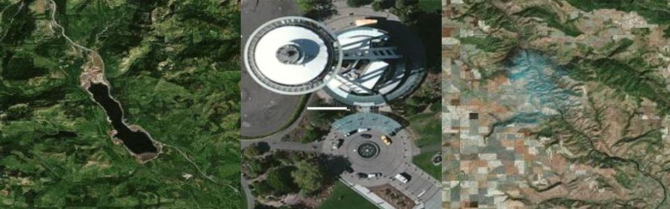
Founded in 1993, LAND INFO Worldwide Mapping, LLC (LAND INFO) is a leading provider of worldwide digital topographic map and nautical chart data (DRGs, DEMs & vector layers), high-resolution aerial and satellite imagery (Pléiades-1A/1B, WorldView-1, WorldView-2, WorldView-3, WorldView-4, GeoEye-1, KOMPSAT, TripleSat, QuickBird & IKONOS) and medium-resolution satellite imagery (SPOT 1-7, RapidEye, PlanetScope [Dove], Sentinel, Landsat, ALOS, ASTER & Deimos.)  We also improve imagery via a range of processing services  (ortho rectification, pan-sharpening, tonal balancing, mosaic output and wavelet compression.)


Software
Extensis®, formerly LizardTech®, creates state-of-the-art software products and solutions that enable governments and businesses to manage and distribute massive, high-resolution, geospatial data sets such as aerial and satellite imagery and LiDAR data. LizardTech pioneered MrSID™ a powerful image encoder, viewer, and file format. Extensis' line of geospatial software products include GeoExpress, for compression and manipulation, and Express Server for high-performance image delivery and publication.

CONTACT US FOR A COMPETITIVE QUOTE!
ArcGIS Extentions
* Ascent GIS is an ESRI Authorized Business Partner